Hiking is one of my favorite ways to explore, and with Laos’ stunning countryside, I was eager to find a good route. Our first outing in Vang Vieng was both a great experience and a lesson: sometimes, the information you find online isn’t just wrong, it can be outright dangerous.
Disclaimer
I’m going to talk about an app I use to find hikes in this article, but I won’t mention it by name. The reason for this is that the information in the app is crowdsourced, so I don’t want to hold the app responsible. This isn’t a critique of the app, but rather a reminder of how difficult it is to keep hiking information accurate, especially in remote areas.
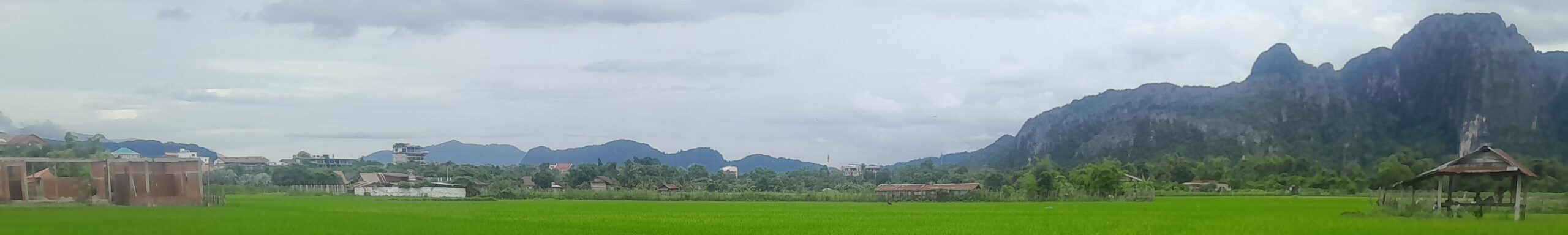
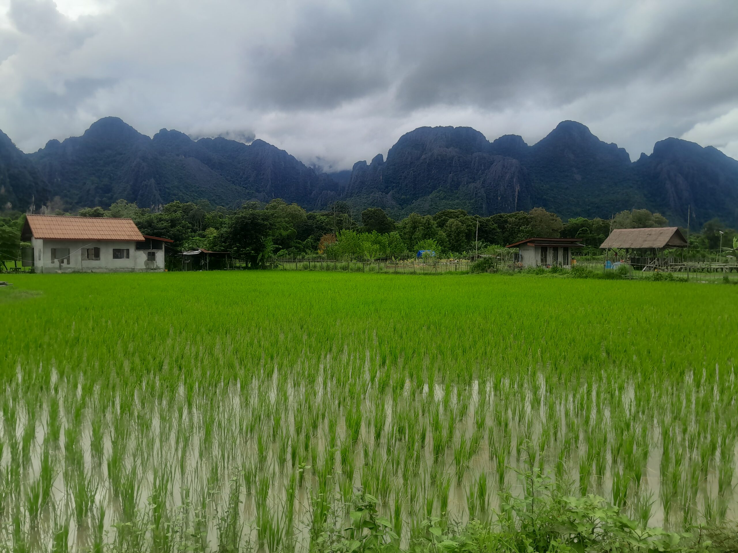
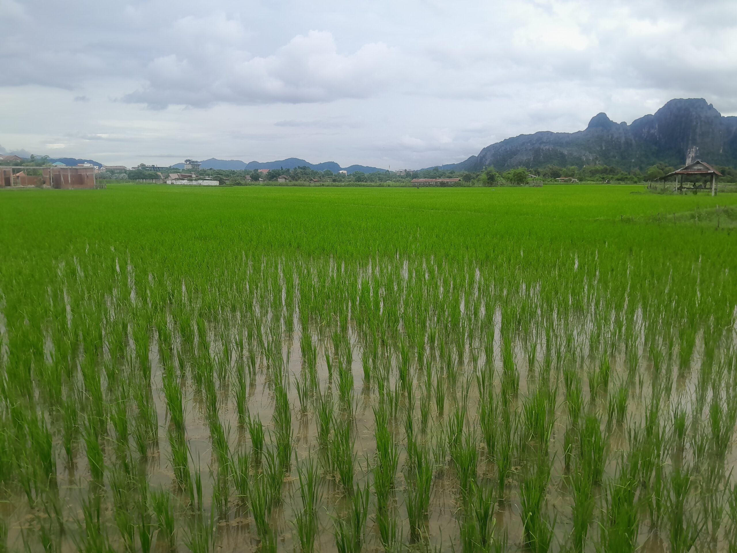
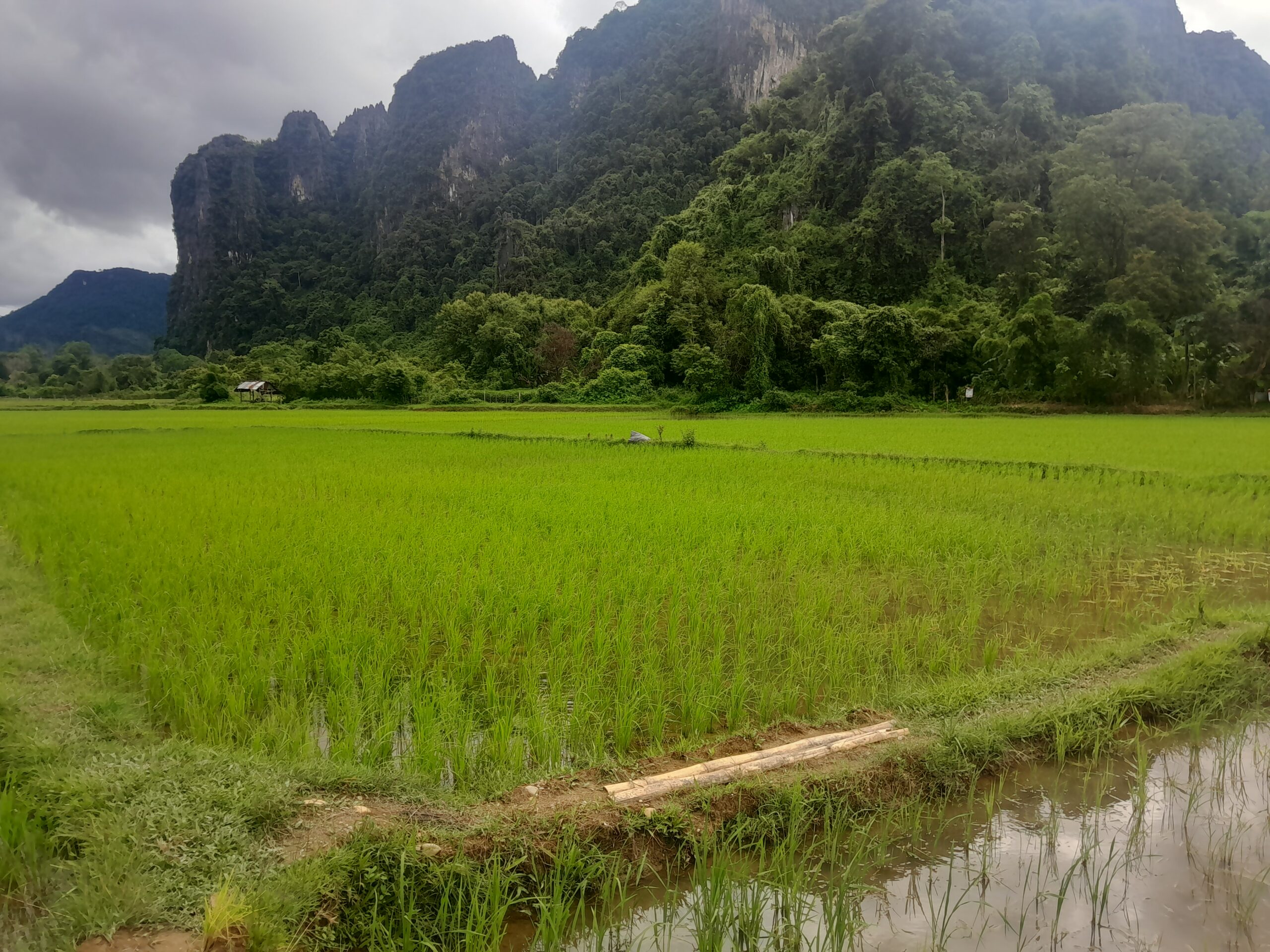
The rice fields in Vang Vieng are a beautiful place to hike, and we wanted to find a good route to see the sights. We used our usual hiking application to find a route, and planned an early start.
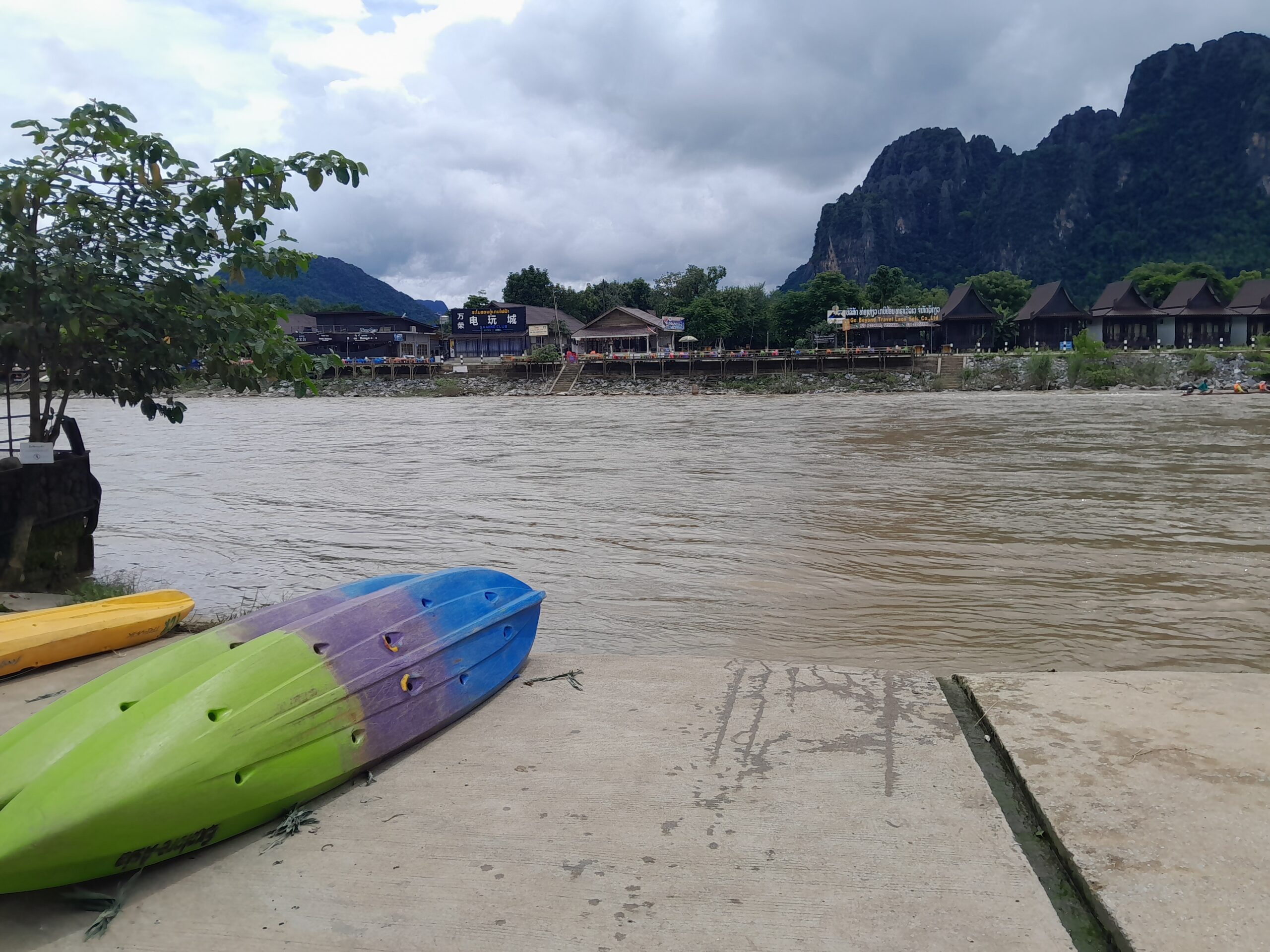
Our first challenge? Getting across the river. According to the map, the Bamboo Bridge should have been right across from our hotel. In reality, it had long since collapsed, leaving only a launch pad for kayaks.
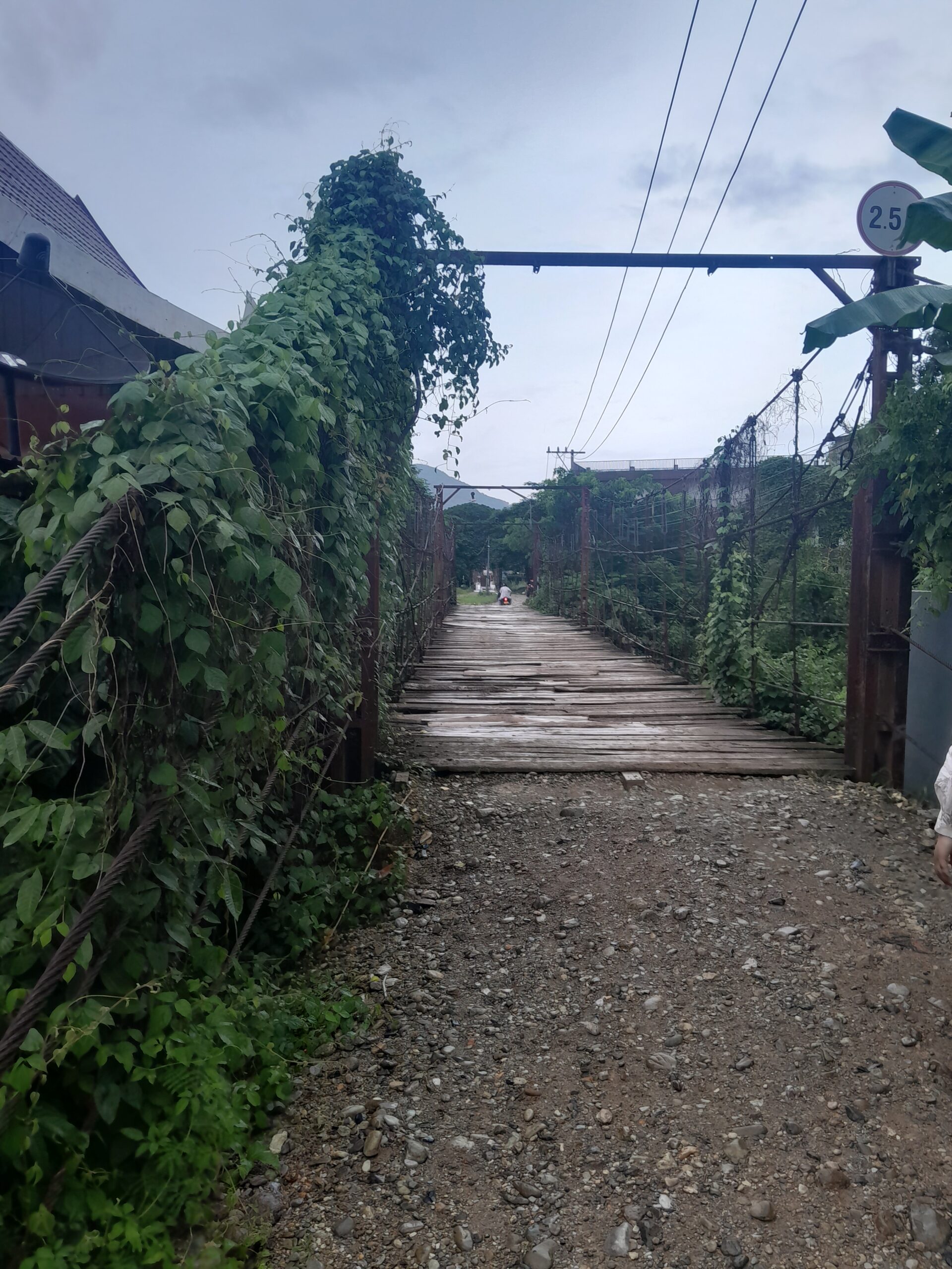
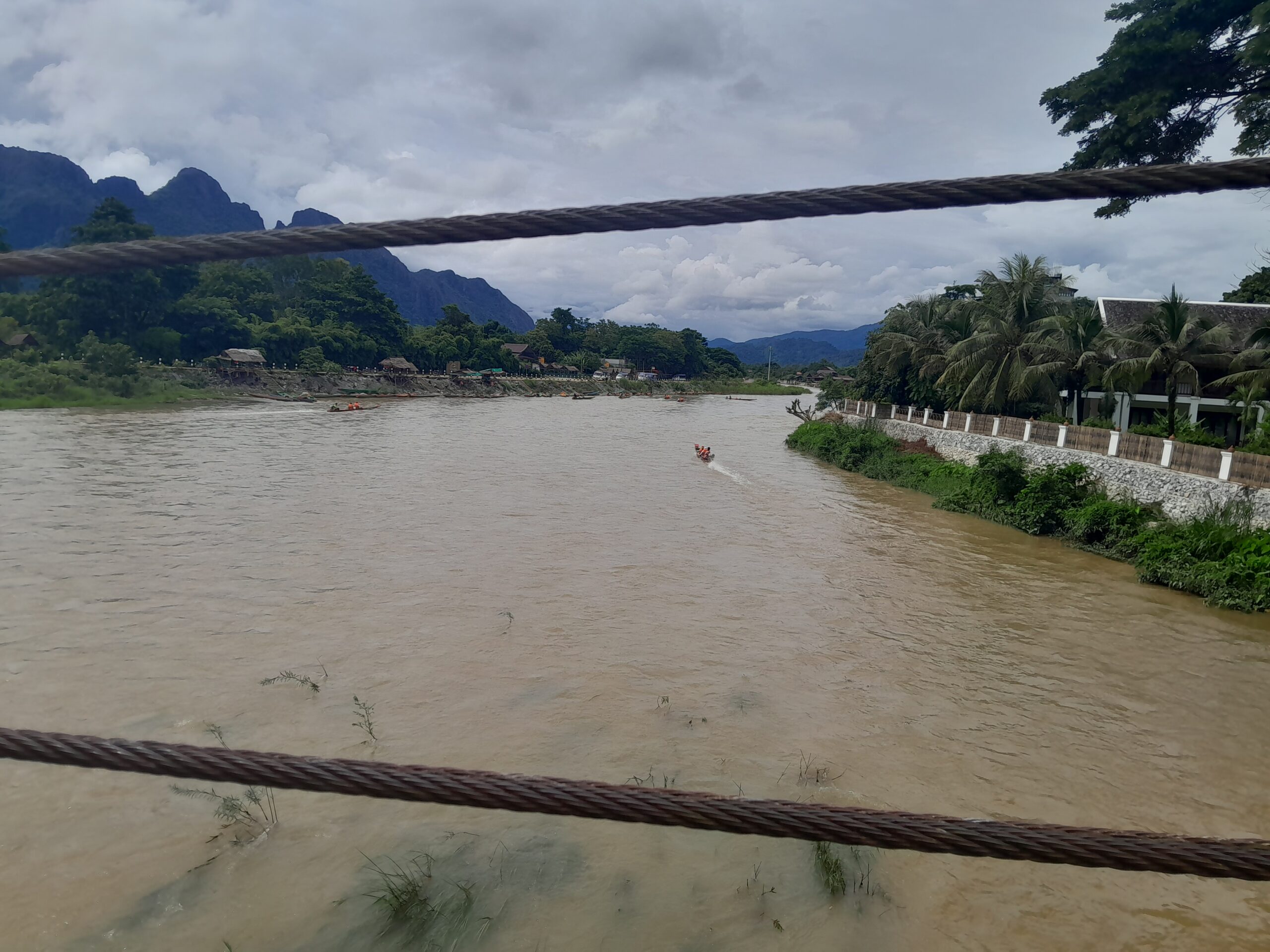
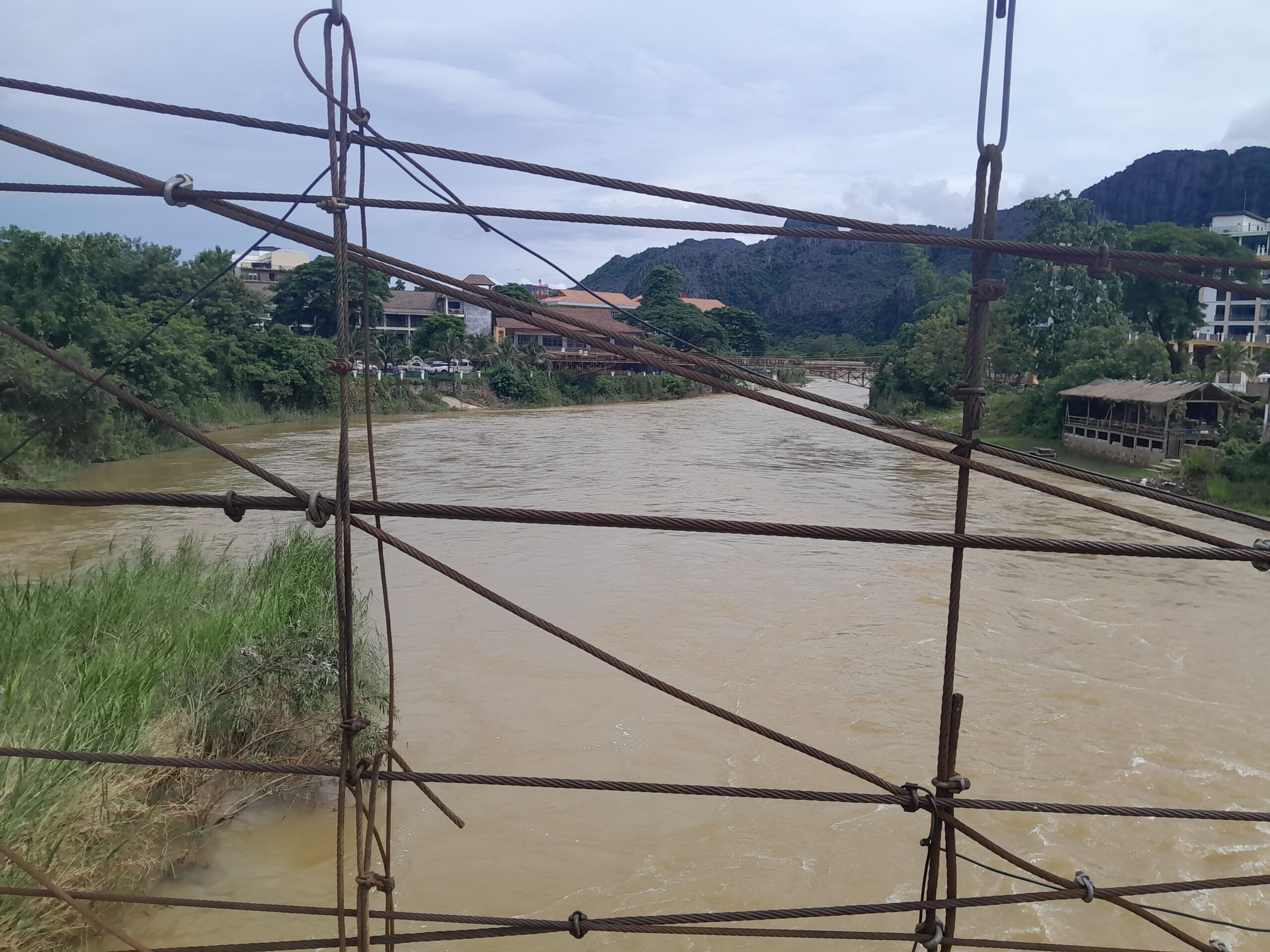
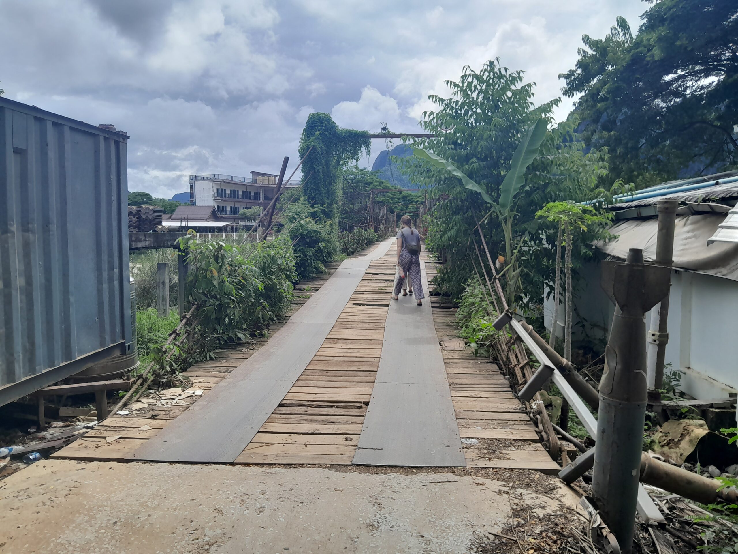
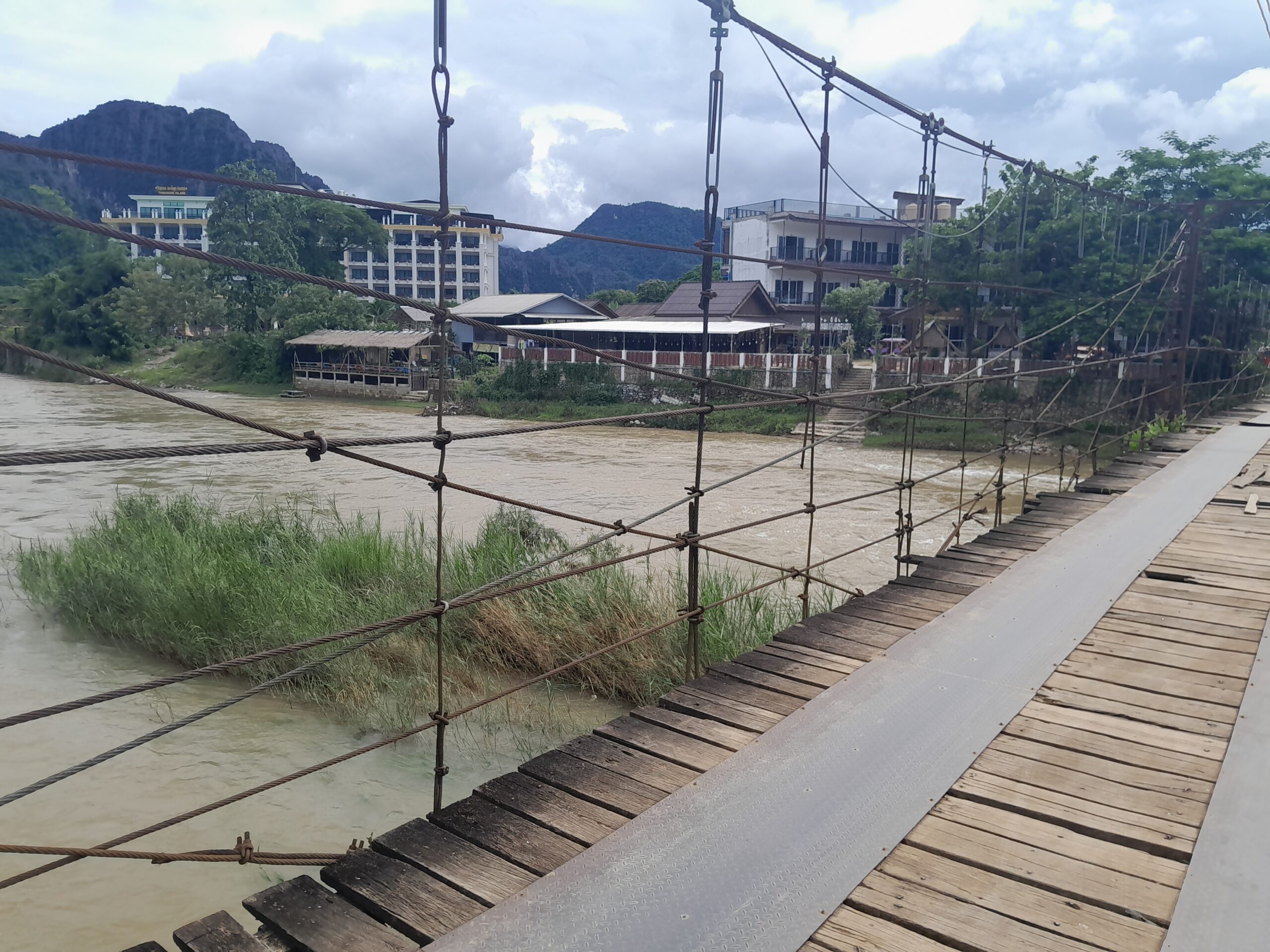
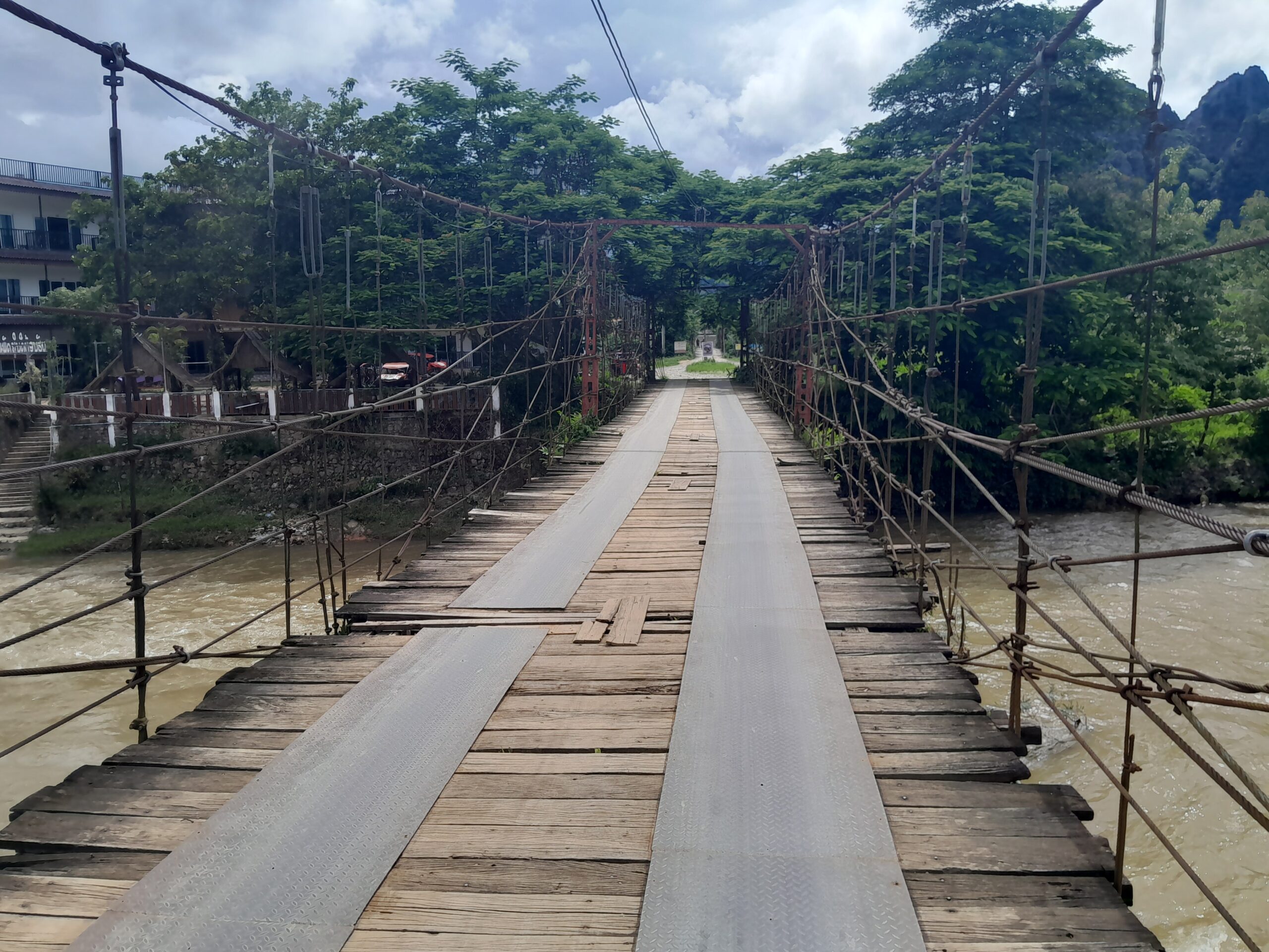
Instead, we had to go south to the Namsong Bridge. This bridge actually allows cars and motorbikes across, though at first glance you’d swear it shouldn’t. A wooden structure reinforced with steel rope, it’s sturdier than it looks, but not without hazards. Some planks were broken or missing, meaning we had to watch our step.
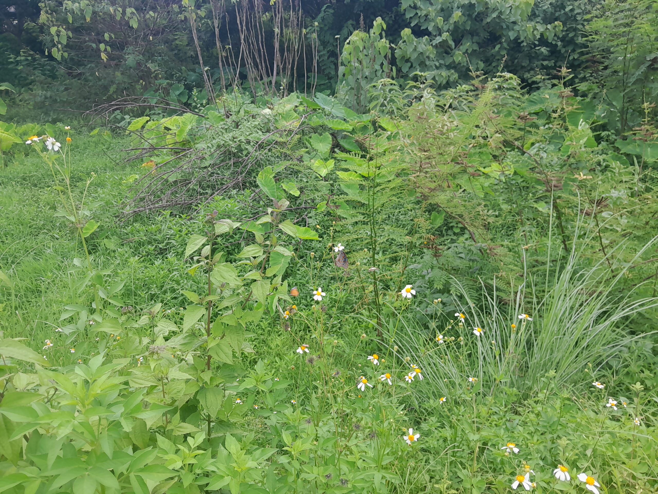
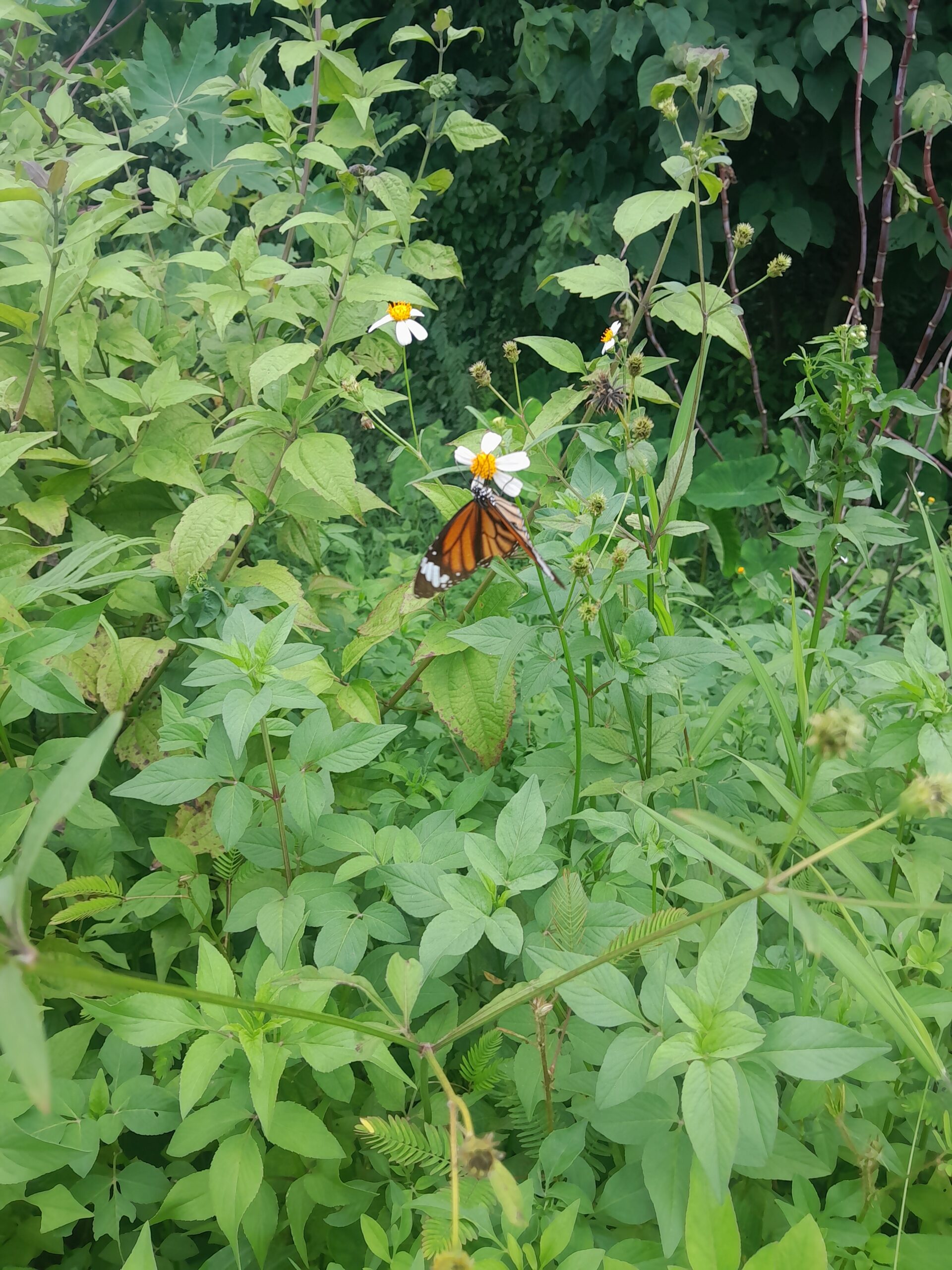
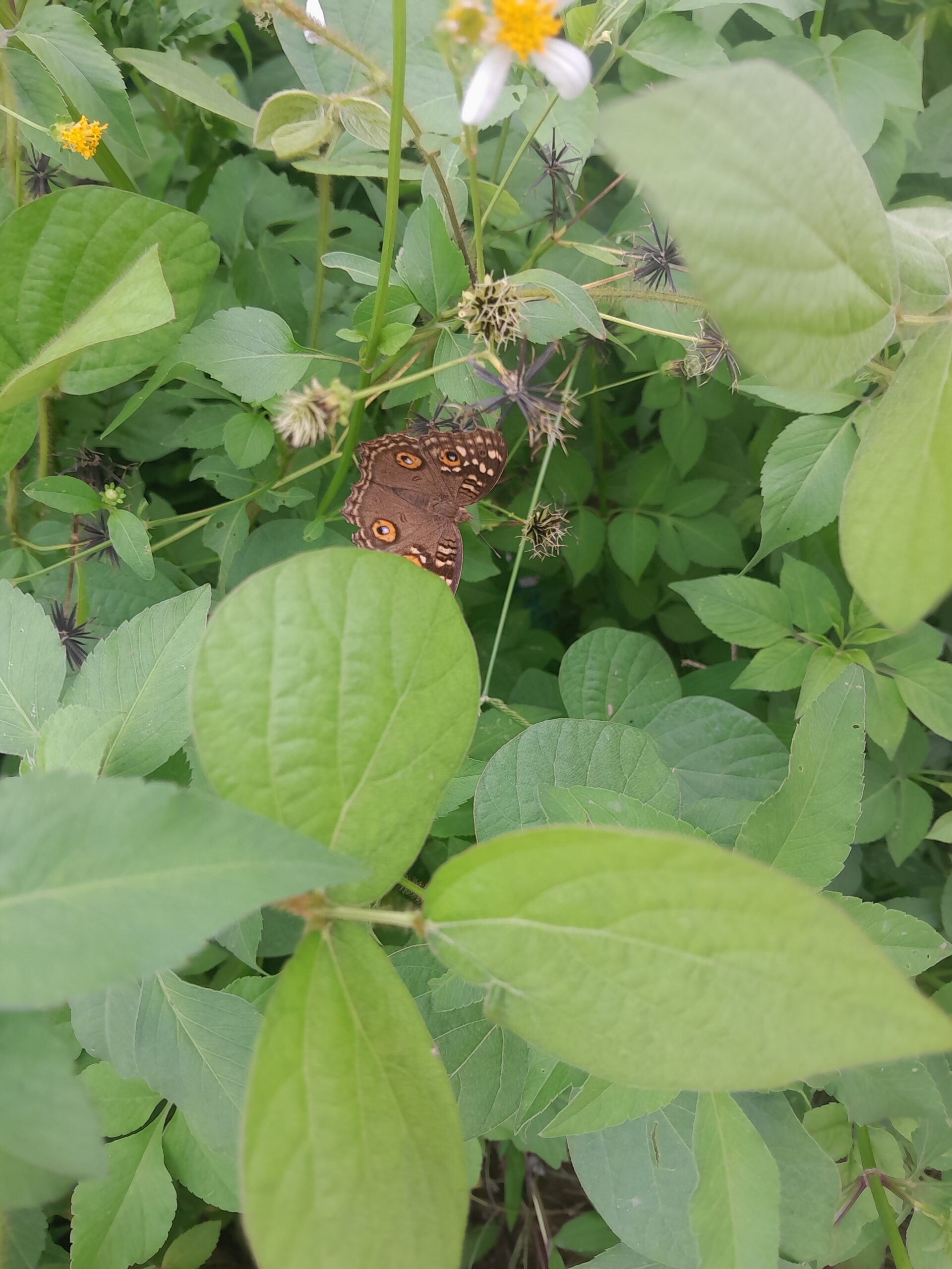
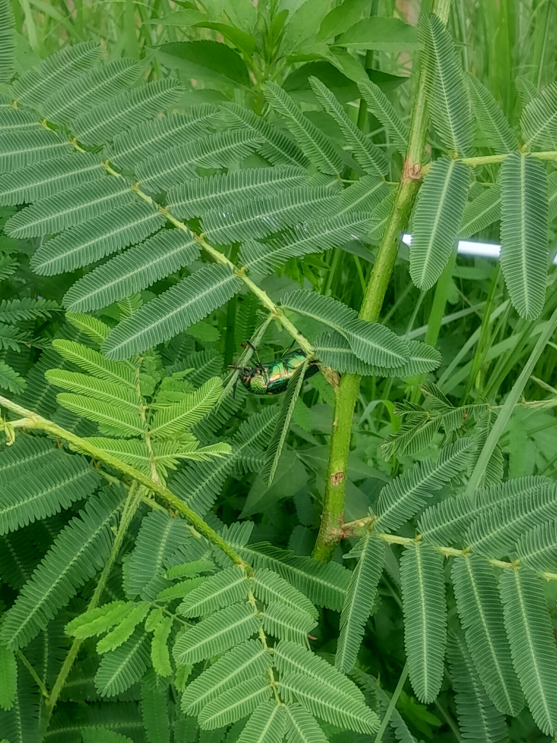
On the other side of the bridge you are already in farmland. The wild grass and bushes were alive with butterflies: clippers, buckeyes, and even a monarch drifting through the air. I also spotted a striking green beetle, which I think might have been a Mint Leaf Beetle.
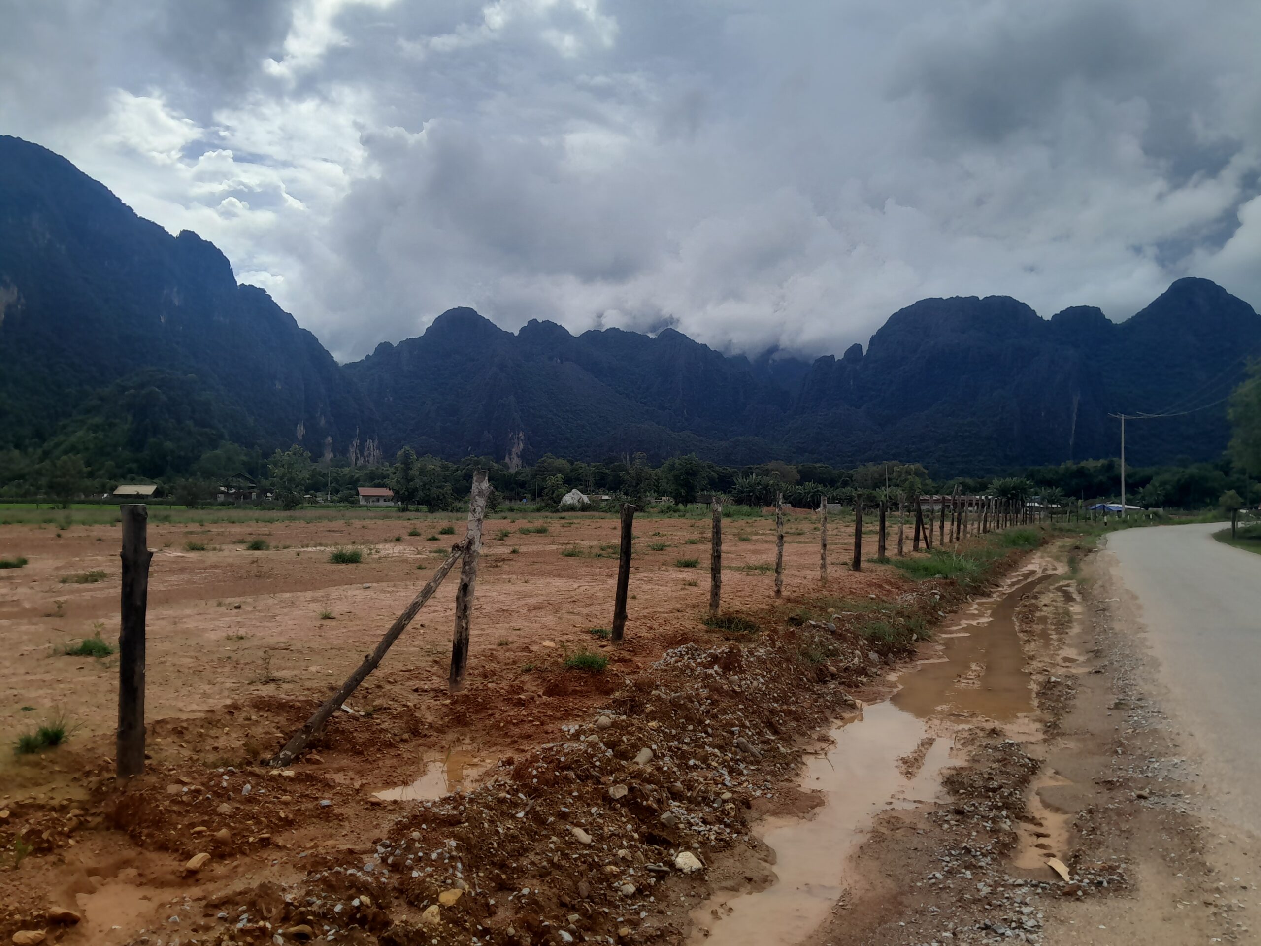
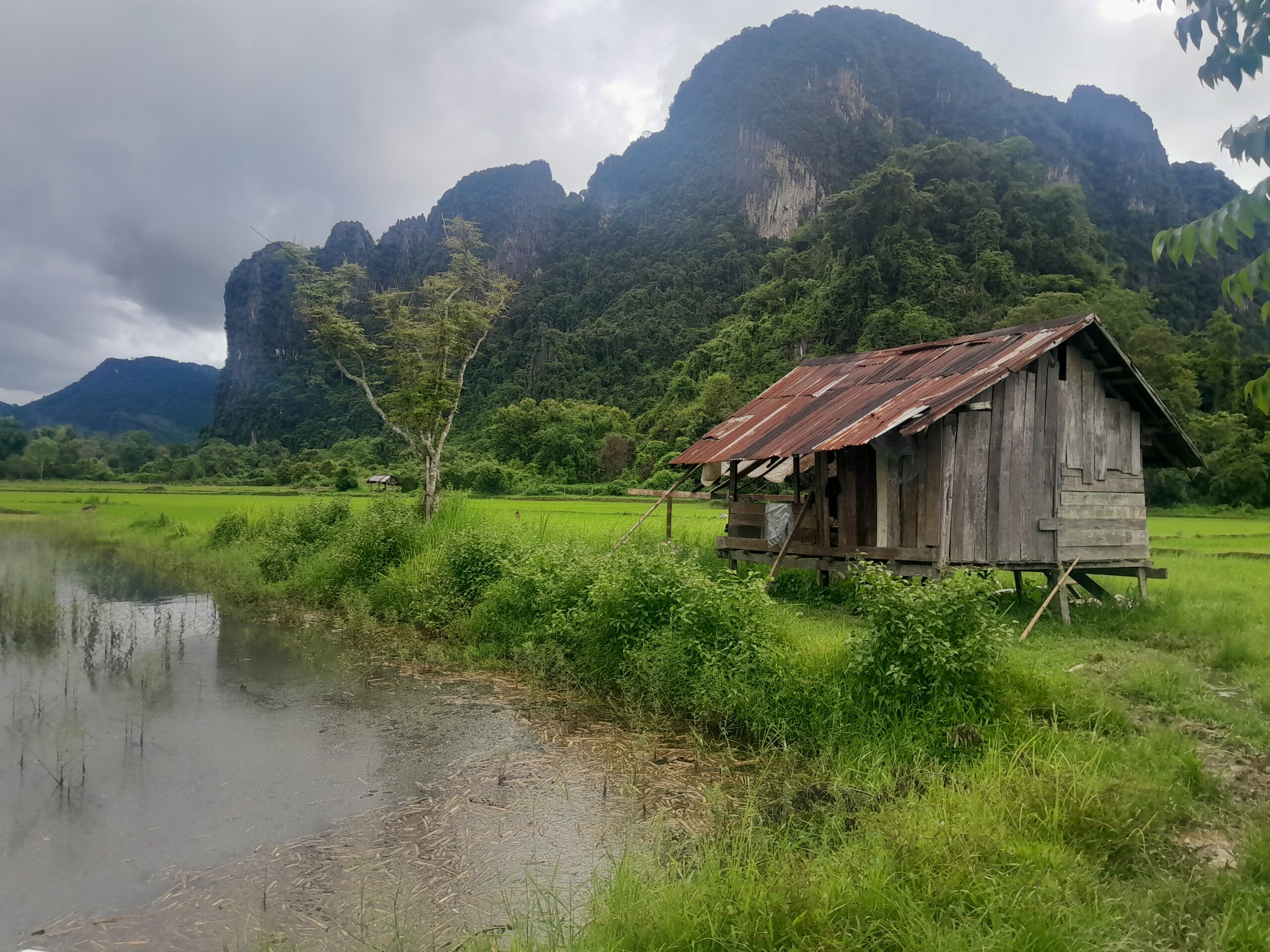
We continued our way north to the rice fields, toward the road where our hike was supposed to start. We came across a sign pointing toward the peak we were aiming for so we turned off the main road into the rice fields.
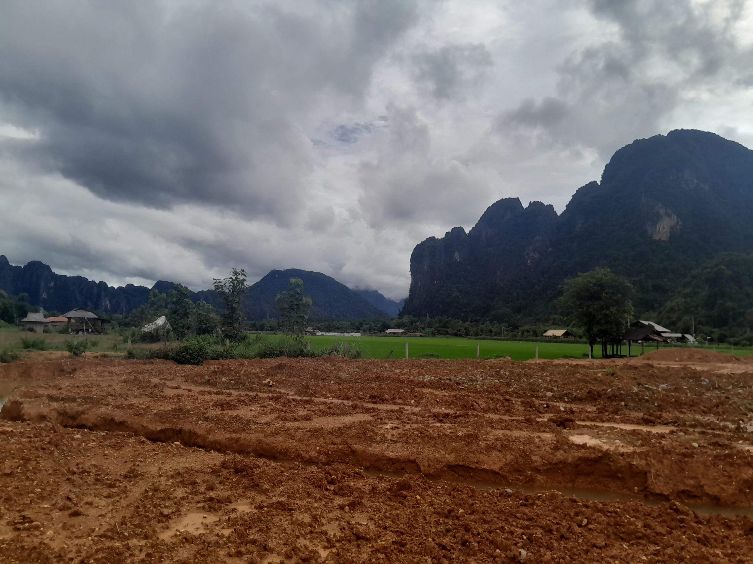
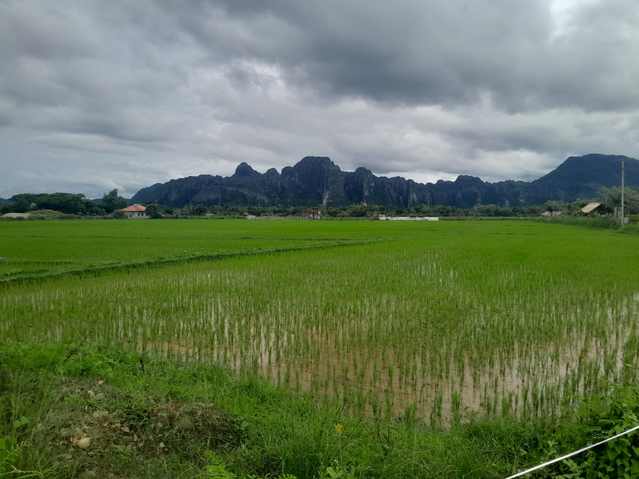
These fields were very different to the rice farms in China. In China you will often find rice farms on hills, so they are layered with multiple levels. Here, the fields were completely flat and you could see rice growing almost as far as the eye could see.
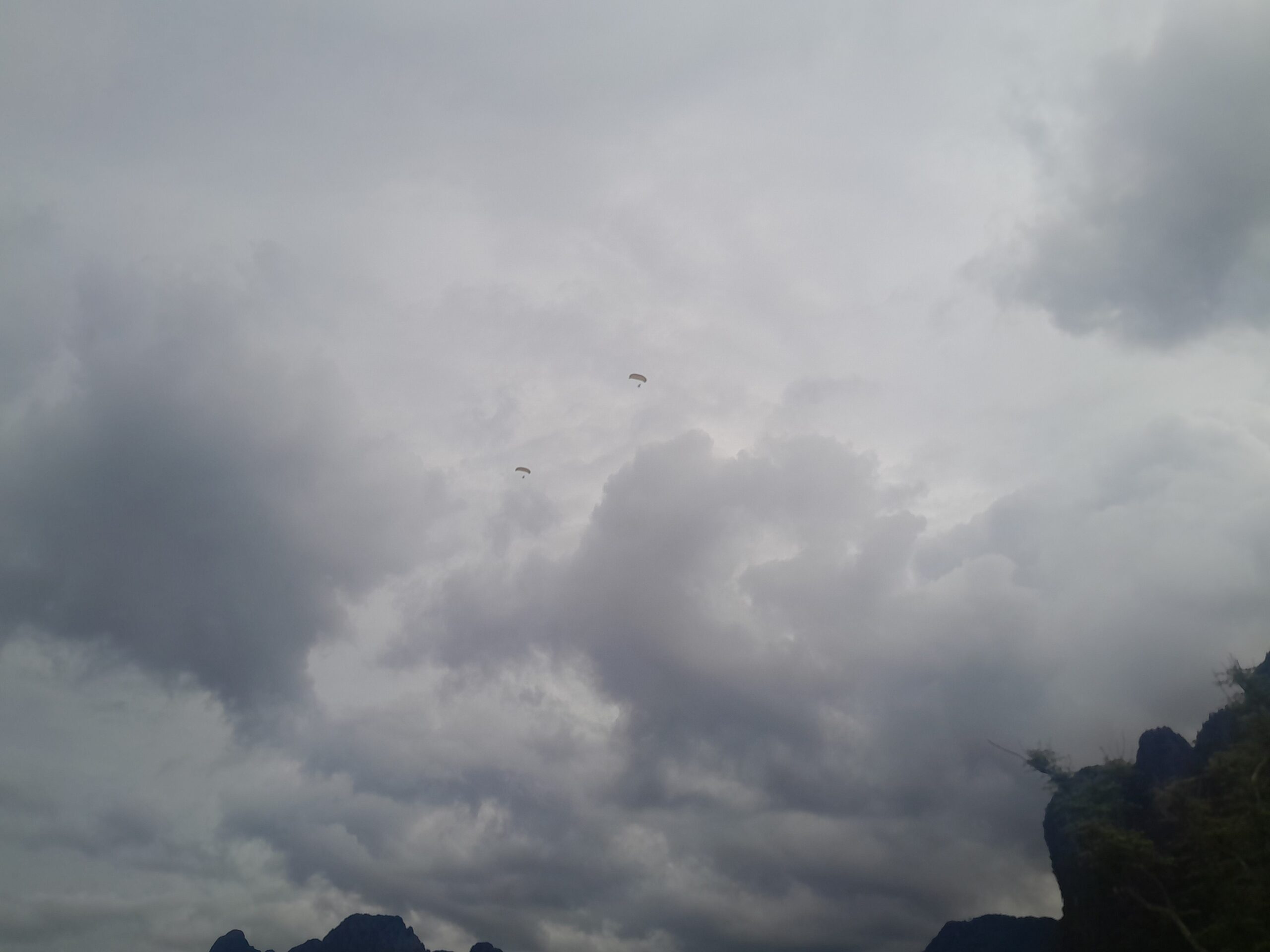
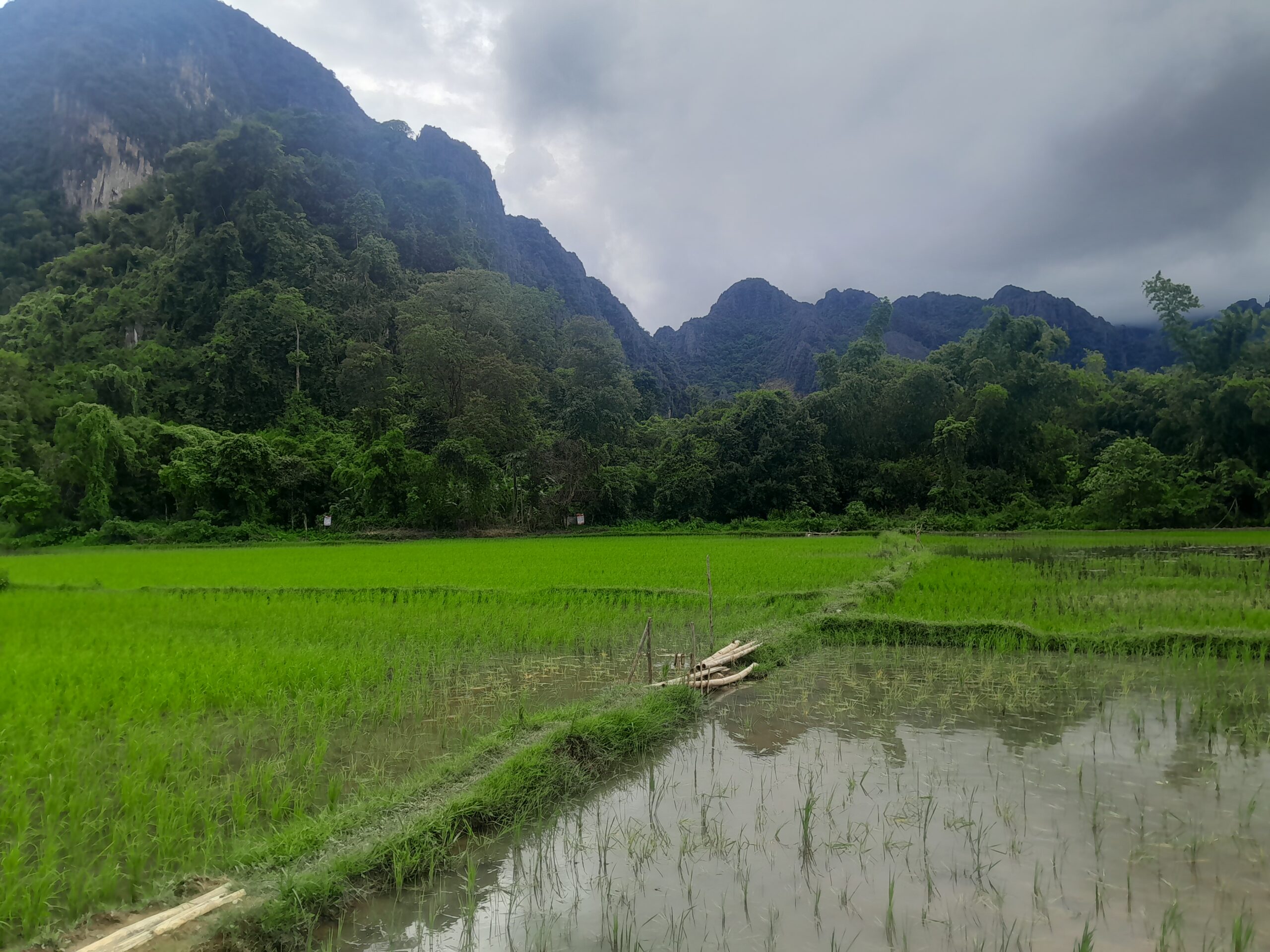
With parasailers floating overhead, we pushed deeper into the rice fields, following the app’s directions. But the further we went, the more it became clear this map wasn’t quite right. We kept hitting dead ends, doubling back, trying new routes, only to find more obstacles. Eventually, after a fair bit of trial and error, we made it close to the base of the mountain.
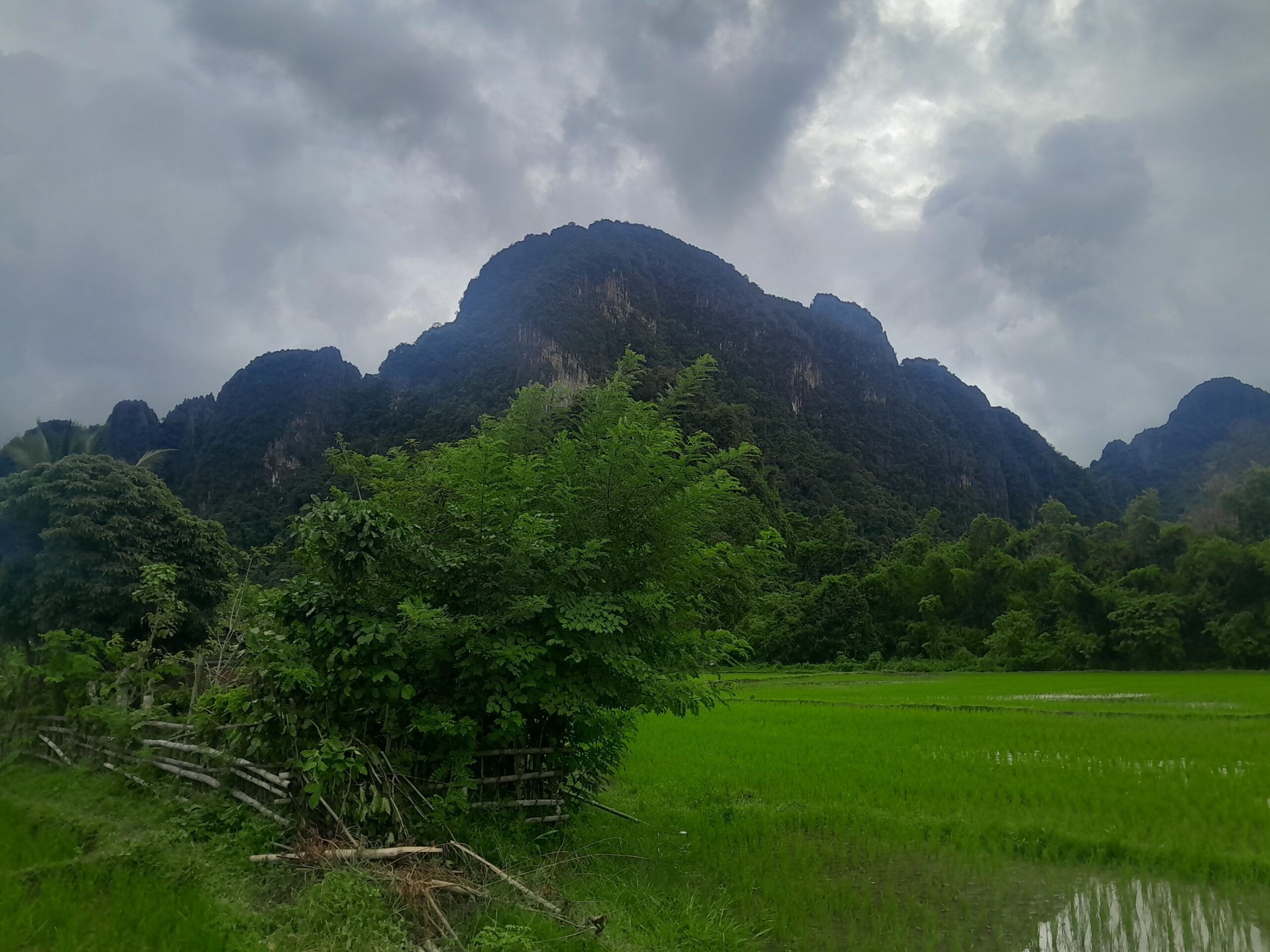
At the mountain’s edge, we spotted several signs. We couldn’t read Lao, but the skull and crossbones symbols told us everything we needed to know. Most likely, the area was still littered with UXOs (Unexploded Ordinance) from past conflicts. Whatever our hiking app said, this was not a place we should be climbing.
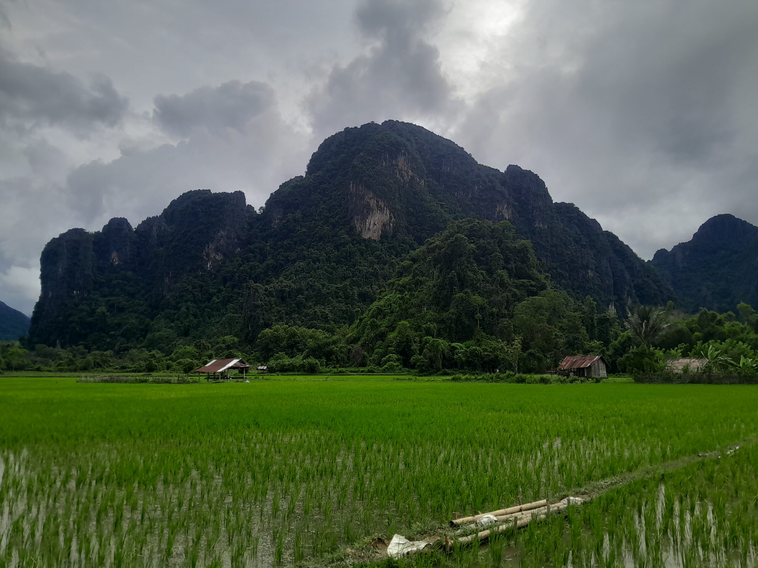
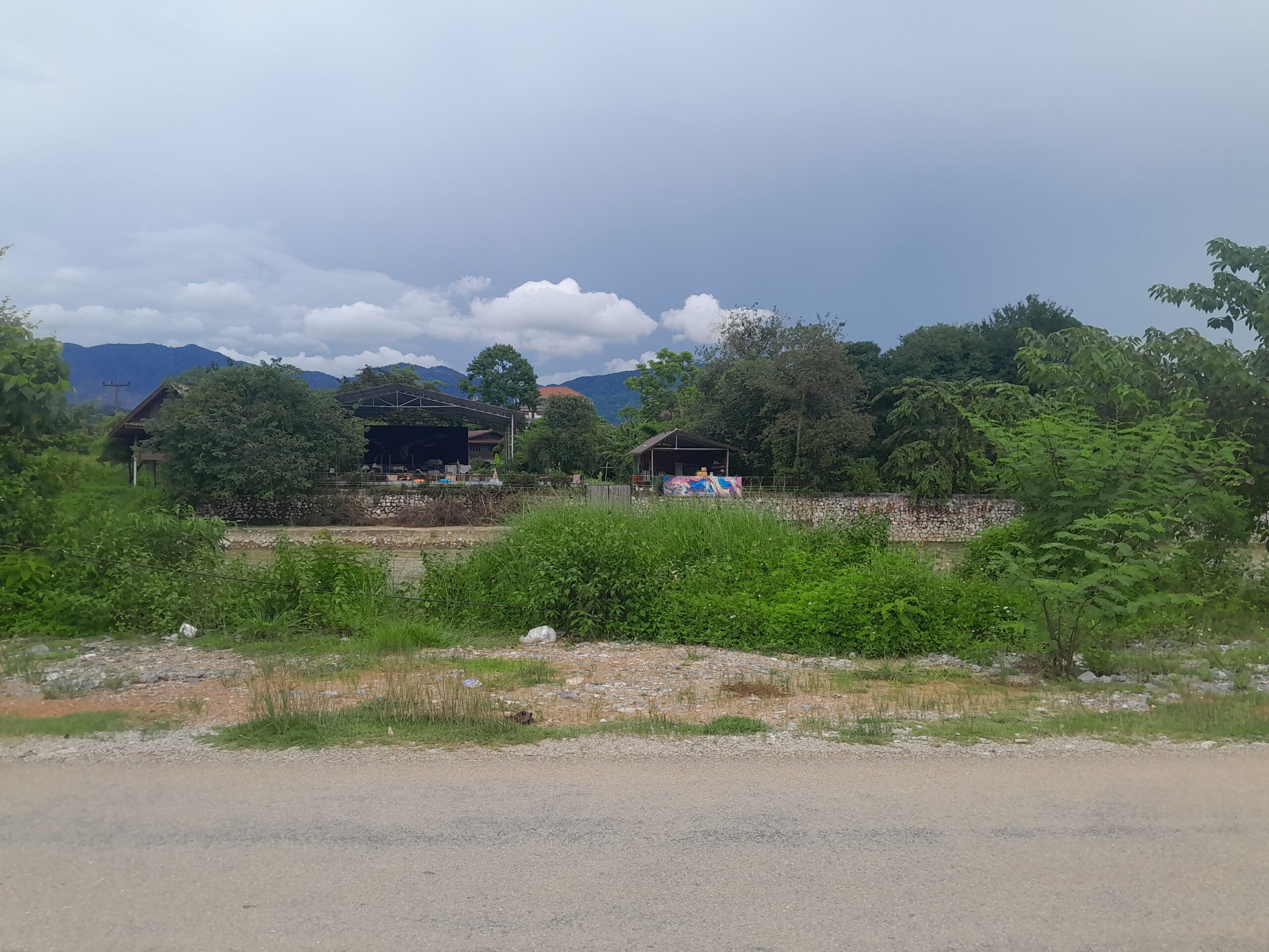
A little disheartened, we made our way back to town. But despite the setback, it had been a beautiful day filled with unexpected wildlife, stunning landscapes, and a good reminder that adventure doesn’t always go to plan. By the time we sat down with a room-temperature Beerlao, the frustration had faded. That first sip? Absolutely worth it.